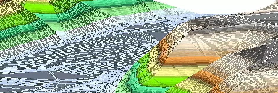
embankment/berm
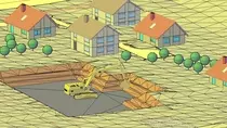
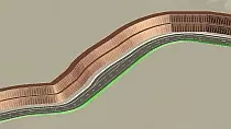
The construction of embankments and berms belongs naturally to the planning of civil engineering. BBSoft® meets the requirements and makes a simple creation possible via the DTM-module. An embankment connects two levels in the terrain with small inclination with a third level, which is steeper (e.g. left/right of a road). A berm divides the embankment into several horizontal subareas, so that the earth pressure on the embankment foot is decreased.
Further features:
- the embankment base edge can be a 2D-/3D-polyline or a line with height information
- the embankment base edge can refer to a DTM, a reference horizon with a specific height or to a further boundary edge
- the initial embankment edge can be modified afterwards: in this manner the embankment route can be updated alongside the embankment edge
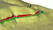
- the creation of an embankment hatch pattern is possible, whereby filling and cutting can be highlighted
- an embankment element is a BBSoft-element and can be edited with our element commands
- the inclination direction of the embankment can be determined (upwards, downwards, automatic)
- a plausibility check of the terrain model of the embankment can be performed
- the 3D-surfaces of a calculated embankment can be drawn and shown
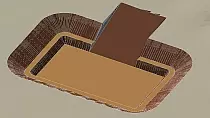
- planning of rainwater retention basins possible
- creation of graded embankments (with integrated berms)
- embankments can be created upon an inclined layer
- an embankment calculation upon a boundary edge without height
- the profile construction of embankments and berms can be drawn into the CAD and visualized there
- embankments can be created upon the top edge of 3D-solids
- you can export the settings of an embankment and transfer these onto another embankment
required modules: BB-VGR, BB-VDGM

