Route editor
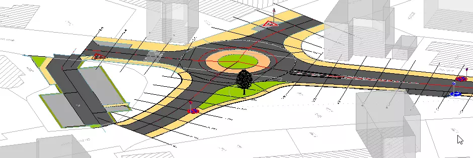
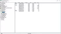
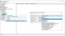
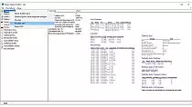
The route editor (total editor) is the central control tool, for clear and quick considering and editing of the most important data of a route. All information of alignment, vertical alignment, traces with widths, change in gradient, structures and embankment can here centrally be examined and if necessary edited. Changes will be saved automatically and updated during the redrawing of the route in the location plan.
Further features:
- up to 30 traces per alignment are definable
- traces can be compiled according to the guidelines (RAA, RAL, RAS-Q, RASt06)
- subsequent adoption of traces in an existing planning
- simple adoption of drawn border lines from external data (e.g. house facades, boundary lines)
- control of widenings, design speed and thickness of humus
- trace names, type of hatch pattern and color values can be assigned individually
- definition of subsoil drainage (formation level)
- calculation of road widening in bends according to RASt06, RAL 2008, RAA 2008 and VSS-Norm (SN 640 105b)
- an entire presentation of a route (inscription of slopes, widths of trace, high- and low points of route, intersection of tangents) saves the route editor in a separate dialogue
- text positions can be saved
- country settings for Switzerland and Austria are electable
required modules: BB-VGR, BB-VSTR


