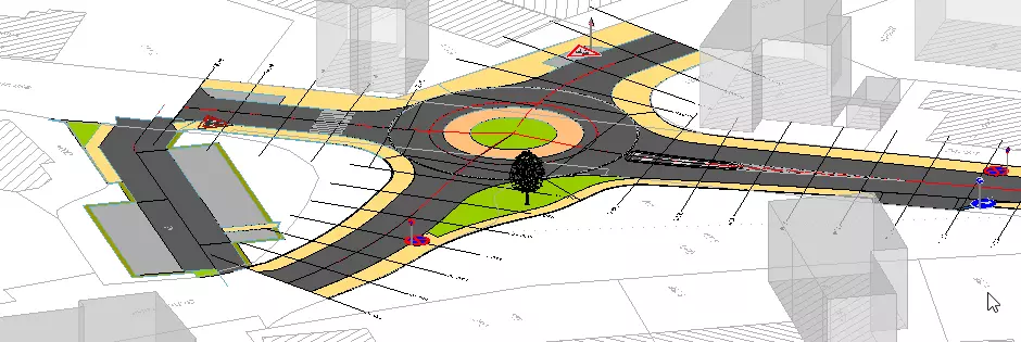
Quantity survey
BBSoft® provides you different possibilities for the calculation and analysis of route data.
Mass calculation (according to Elling)
- single traces or materials can be excluded from the calculation: a calculation in sections is possible
- output of data types DA66, DA54, DA53, DA51
- display control profiles in the CAD
- creation of a HEC-RAS-file for river engineering
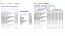
- an output of the calculation formulas (station by station), of masses per lane and layer and of the total masses is possible
Mass calculation (solids)
- creation of 3D-solids for every material individually (with output of masses)
- a calculation in sections is possible
- this calculation should be used only for the purpose of plausibility check
DTM/embankment
- DTM-creation under consideration of vertical alignment, slope and width change
- display embankment edges as 3D-polylines in the location plan
- automatic display of embankment arrows, hatch patterns and inclination units
- colouring of filling/cutting areas according to RE
- the new road area is merged automatically with the stock-DTM
- manholes and reaches can be automatically included into the road terrain
- stations will be set automatically during the shift of filling/cutting
- contours of route can be calculated
- single traces can be excluded from the calculation
- treads (e.g. kerbstones) are intermeshed vertically with each other
Pavement design specification
- output of pavement heights and pegging plans
- a calculation in sections is possible
- output of a formation level book and a formation level terrain model
- grader-control: output of contour points with defined distance to alignment
- securing of alignment: output of contour points with defined distance to alignment/border
- consideration of highest/lowest points and change of inclination/widths/main element or tangents
- user-defined specification of point number and coding (per border)
- text positions of elevation level were maintained in the location plan
- output of elevation level (absolute or as delta to alignment)/DTM-creation
- simultaneous output of heights for stock and planning
- symbol of elevation level individually adjustable
- export of contour points as DA45, CSV, TXT
- output of a "written longitudinal section"
required modules: BB-VGR, BB-VSTR


